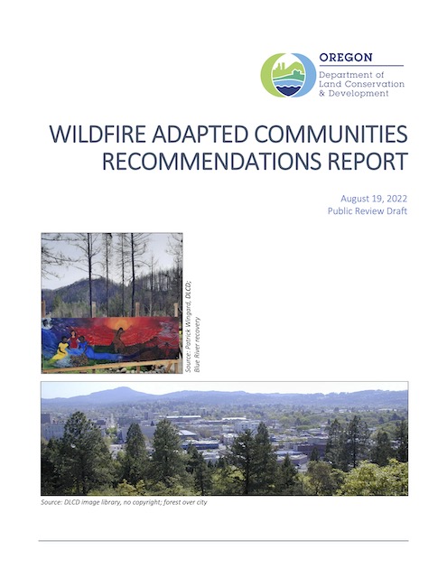
Fed by high winds, a wildfire about 50 miles from Antiplanner headquarters in Camp Sherman blew up on Sunday, burning 34,000 acres in a few hours. Meanwhile, Oregon’s Land Conservation & Development Commission (LCDC) is seeking comments on a report it has prepared on “wildfire adapted communities.”
 Click image to download a copy of this report (2.9-MB).
The report says little about density other than to suggest that structures be clustered “in areas of lowest risk.” Since the only places in Oregon that are naturally at low risk of wildfire are underwater, this suggests that no “clustering” of development makes sense. Continue reading


