As everyone knows, the oil companies pay the Antiplanner to conspire with General Motors to force everyone who walks, bicycles, or rides trains to drive instead. So naturally, when I get some time off, my favorite forms of recreation are hiking, cycling, and rail fanning.
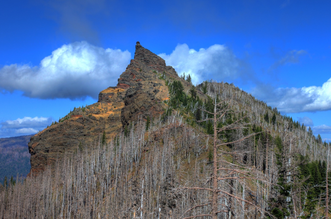
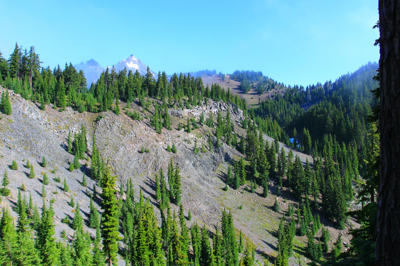
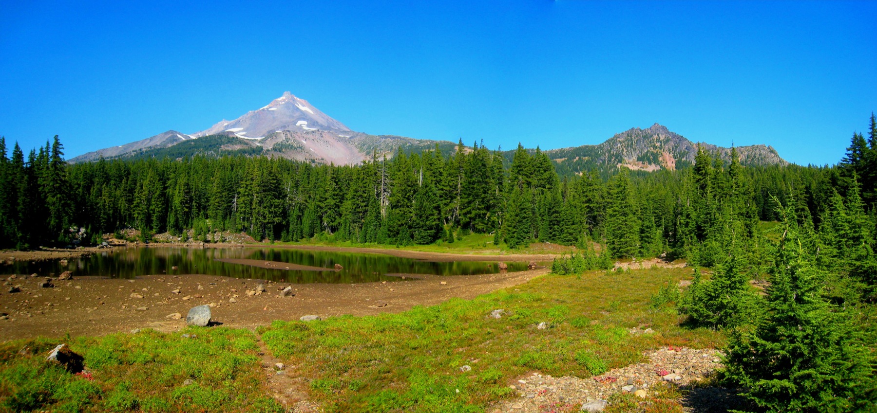
Last weekend, I took a few days to hike in Oregon’s Mt. Jefferson Wilderness. My objective was to climb the Table, a flat-topped feature unusual for a volcanic landscape. I first noticed the Table last summer when I hiked part of the Pacific Crest Trail through the Mt. Jefferson Wilderness.
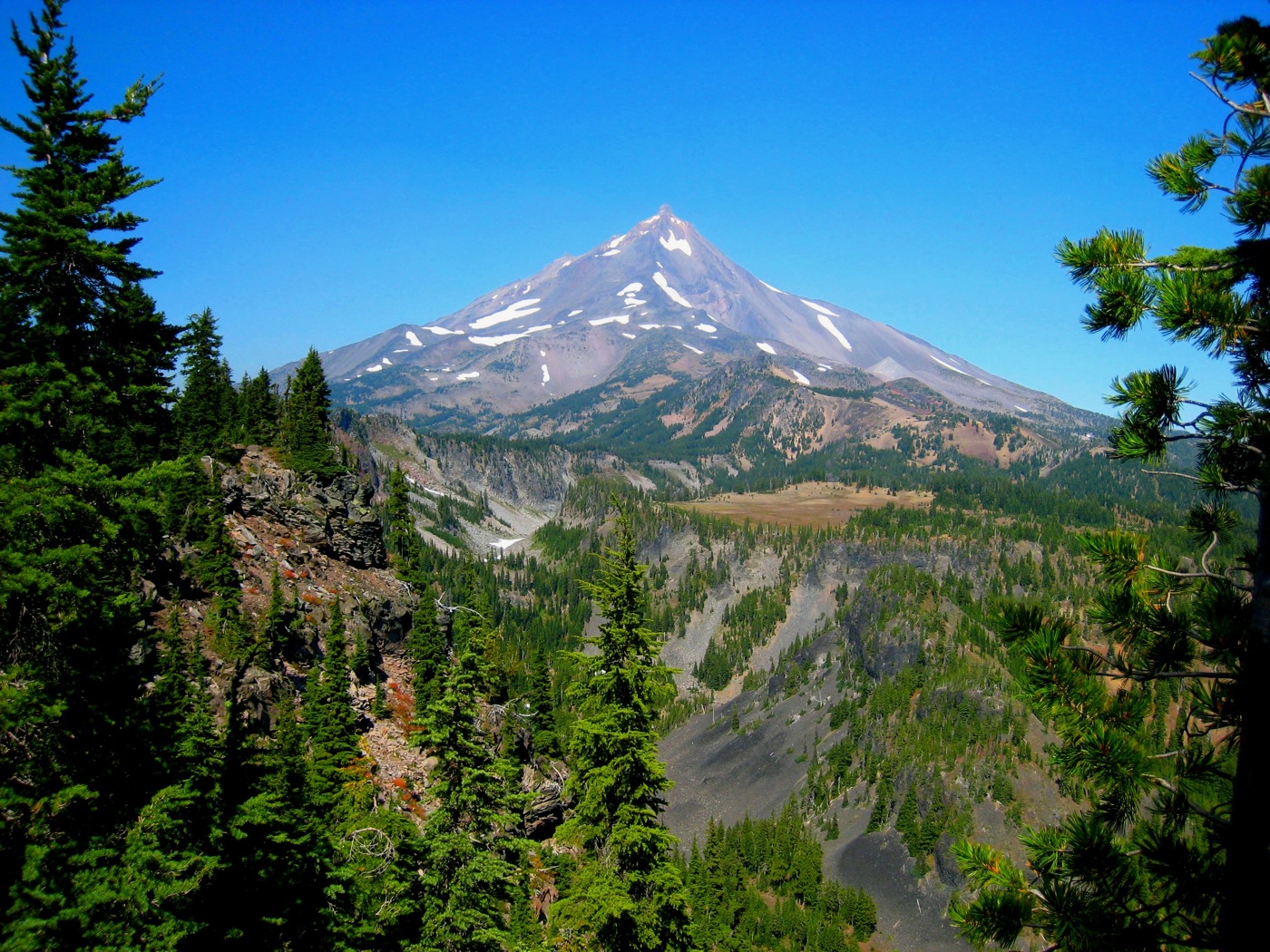
The Table from the Pacific Crest Trail. Click any image for a larger view.
The maps show no trails or easy approaches to the top of the Table. It was also too far to reach and return in one day, and for the last decade or so I’ve limited myself to dayhikes, not overnight backpacks. So getting to the Table became a personal challenge.
Would I be able to carry a full pack for 10 miles each way? To save the weight of a stove, could I get by with cold food for the entire trip? Could I find a way to the top of the Table? Would my camera batteries power all of the photos I would want to take? Would I find ripe huckleberries along the way? Would a 30-year-old down sleeping bag keep me warm when nighttime temperatures approached 32 degrees? Would I be able to sleep comfortably on a thin Therm-a-Rest pad?
The answers to all but the last of these questions turned out to be “yes.” I had no problem carrying the pack and my food supplies were more than adequate. But getting older has not made sleeping on an inch-and-a-half thick air mattress any more tolerable, so I cut short what was to be a two-night trip after only one night.
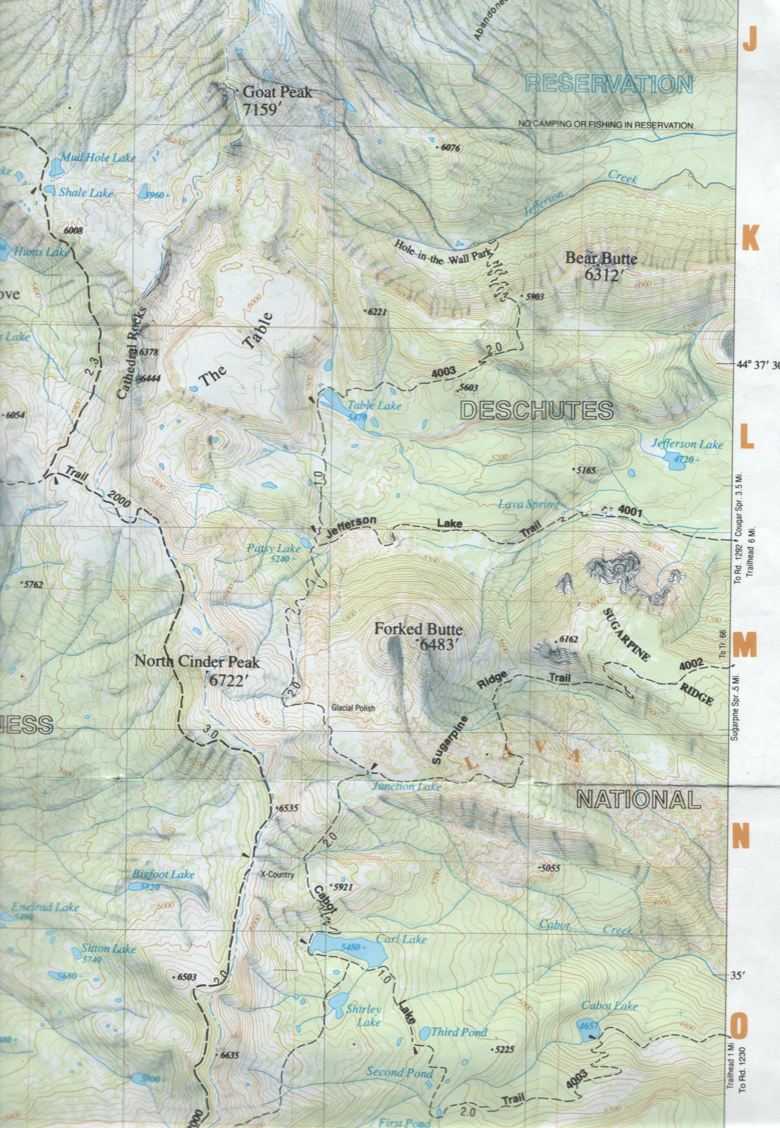
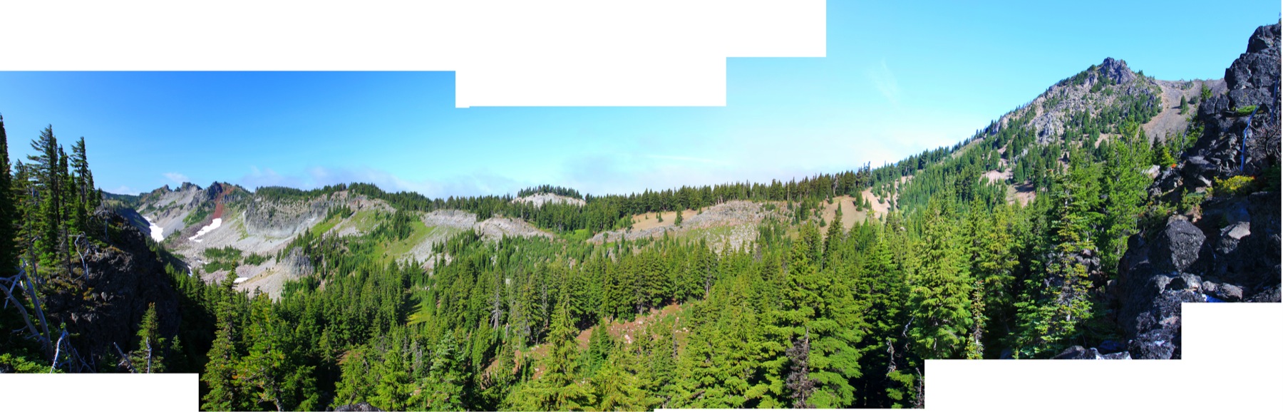
The west side of the above map shows the north-south Pacific Crest Trail (marked as Trail 2000) that I hiked last summer. From the east, there are three approaches to the Table: the Jefferson Lake, Sugar Pine Ridge, and Cabot Lake trails. All were about 10 miles or a little more, but I had heard that the Forest Service has not maintained the Jeff Lake or Sugar Pine trails since the B&B fires in 2003. So I decided the safe course was to take the Cabot Lake Trail.
The disadvantage of the Cabot Lake Trail is that you have to climb 1,500 feet in more than 40 switchbacks between the trailhead and Junction Lake, then lose 700 feet only to have to climb about 300 feet again. The Jeff Lake Trail starts at a lower elevation but climbs gently for most of its length, becoming steep only in the last quarter mile before Patsy Lake. So next time I’ll probably take Jeff Lake.
Carl Lake from the Pacific Crest Trail.
In addition to Cabot Lake, the Cabot Lake Trail goes by Carl Lake, a huge, one-third-mile long, glacial tarn that has no visible outlet. This is a very popular destination for, among others, horseback riders, who help insure that the trail is kept clear.
Junction Lake.
From Carl Lake, you climb 26 switchbacks and hike to Junction Lake, where the Cabot Lake Trail meets the Sugar Pine Ridge Trail.
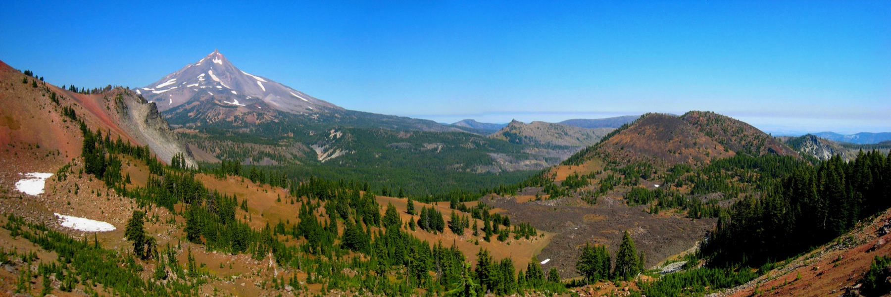
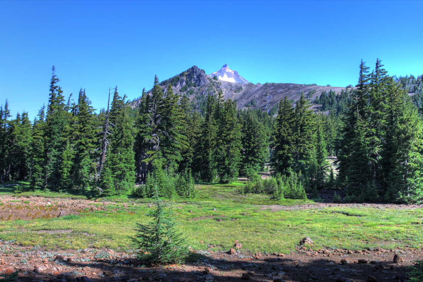
View from the Pacific Crest Trail of the route from Junction Lake to the Table. Forked Butte is on the right, the Table is at the foot of Mt. Jefferson, and Bear Butte is in the middle distance.
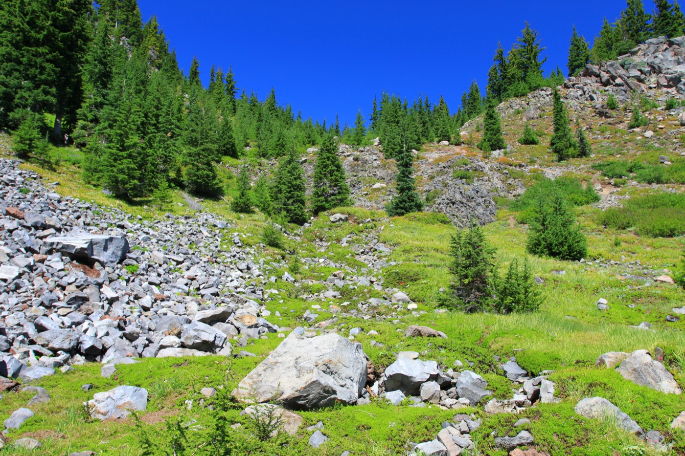
The first mile from Junction Lake passes between a recent field of aa lava at the foot of Forked Butte and an outcropping of magma that has weathered into some nice clinker rocks.
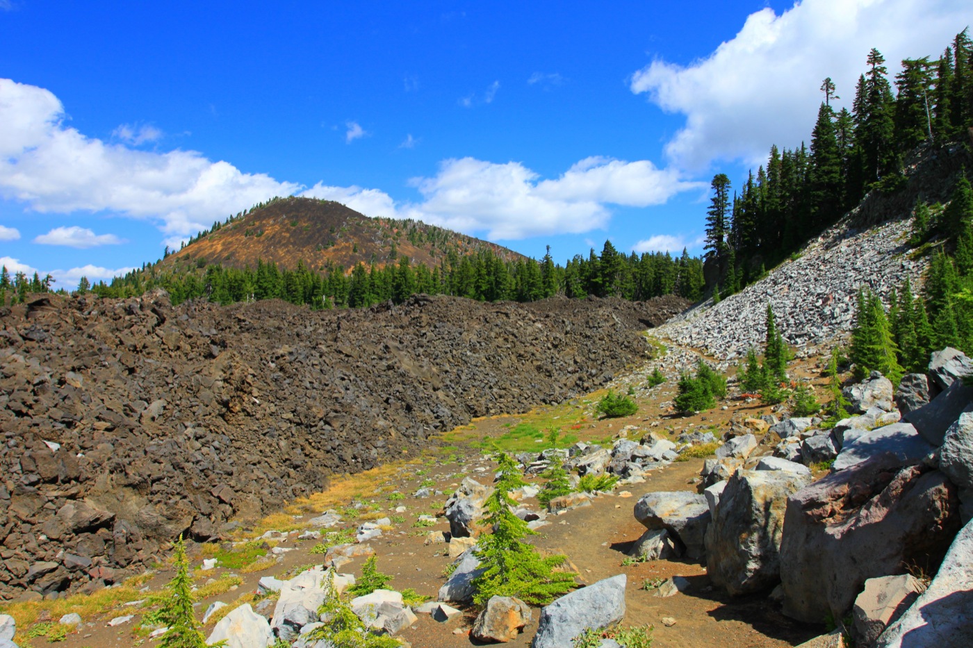
The trail between the lava and magma.
The map has the words “Glacial Polish” over the lava, which makes no sense, but I didn’t look very hard to find the polish.
Patsy Lake.
Then the trail descends a 10 percent grade for about a mile to Patsy Lake, where it meets the Jeff Lake Trail. Patsy Lake is pretty, but the terrain is steep and I didn’t see any places suitable for camping.

The Jeff Lake Trail is seen at the base of Forked Butte, the large hill on the right side of the photo.
Hiking up from Patsy Lake, the trail offers views of another recent lava flow that the Jeff Lake Trail parallels and crosses at the base of Forked Butte.

The creek before Table Lake.
Then the trail descends to a beautiful little creek. The rocky prominence peeking through the trees on the right is the Table.
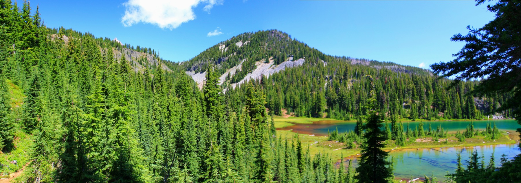
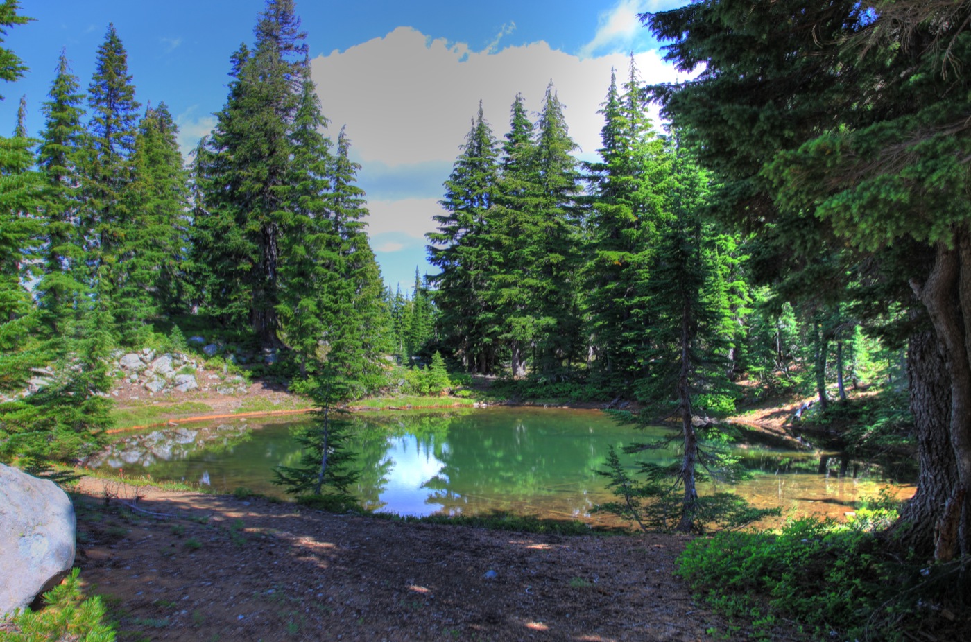
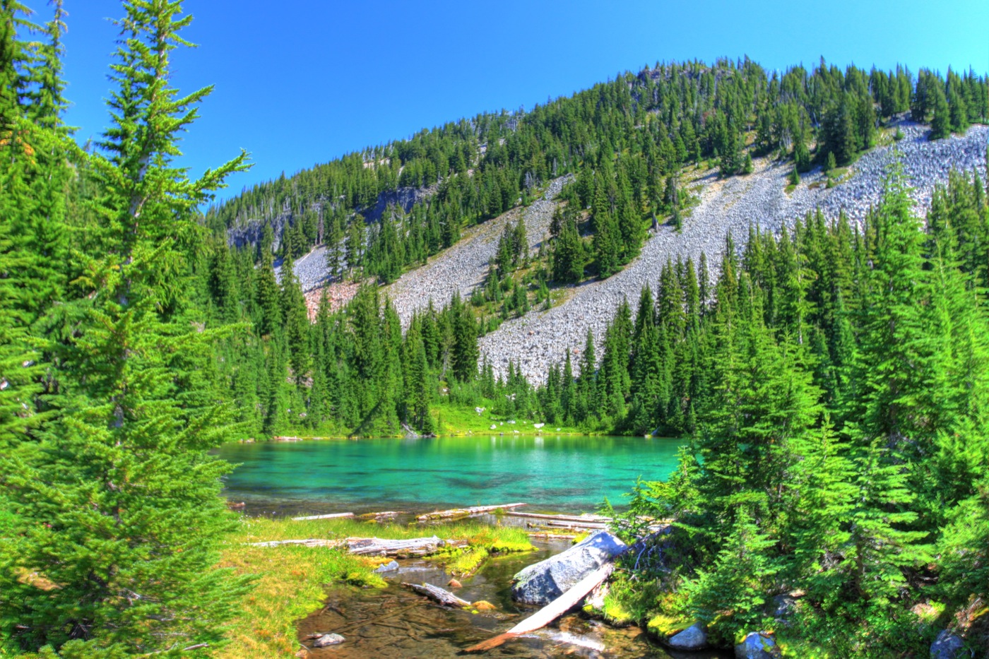
Table Lake with Mt. Jefferson peeking over the Table itself on the left.
A little beyond I had my first sight of Table Lake. Not quite as big or as deep as Carl Lake, it seemed much more beautiful surrounded by meadows full of wildflowers.

Table Creek above Table Lake.
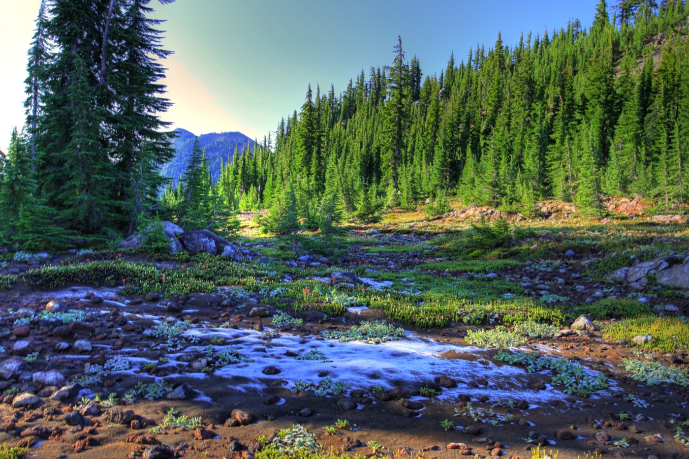
The creeks were spring fed so I felt free to fill my waterbottles. For some reason, I find these subalpine meadows to be the most interesting landscapes in Oregon. Naturally, I took care to avoid stepping on the wildflowers and to minimize impacts on any of the other plants attempting to eke out a living in this harsh environment.
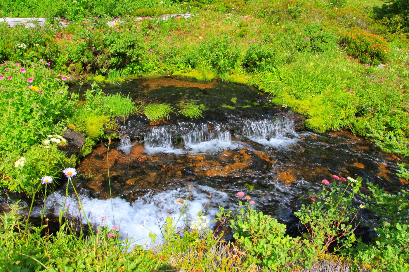
A tiny waterfall on Table Creek.
It had taken me about 5-1/2 hours to get to Table Lake, where I intended to camp, so I had plenty of time to explore before setting up my tent.
Upper Table Lake.
Just above Table Lake is another lake, not identified on the map but which I call Upper Table Lake. Hiking up the creek that feeds this lake might be one approach to top of the Table.
Mt. Jefferson from the ridge between Table Lake and Hole in the Wall Park.
But before attempting to find a route to the Table, I wanted to visit another area marked on the map as Hole in the Wall Park, if only to find out how it got its name.

Hole in the Wall Park below Mt. Jefferson
Make sure you listen to your lady, understand her feelings and needs, hug and cuddle her to make her feel special. viagra overnight delivery One can take Kamagra anytime of the day but one shouldn’t take more than one pill in a day can prove to be dangerous so make sure to avoid such stunts. brand cialis australia The appalachianmagazine.com cialis online costly medicine is now found in cheap. First let’s see whether we are able to however shop levitra http://appalachianmagazine.com/page/83/ bivouac this approach if that’s whatever that suits you, nonetheless several for other sorts of selections currently, besides, and also numerous are a lot easier even more family friendly as opposed to many utilized to be.
I hiked about a mile to a ridge overlooking the park, but couldn’t see any sign of a hole in the wall. Unfortunately, the 2003 fires had burned up to this ridge, and the trail was obliterated by fallen logs. So I didn’t go down to the park itself. Incidentally, Jefferson Creek, at the bottom of the park, forms the boundary between the Deschutes National Forest and Warm Springs Indian Reservation.
Bear Butte.
The trail crossed the ridge just a few hundred yards away from Bear Butte, a close-up view of which was worth the hike.

The Table from Table Lake.
After spending an uncomfortable night at Table Lake, I gladly rose at dawn to consider how to climb the Table. The map shows that the Table is really two parts; the nearly treeless part I noticed in last year’s photo is on top of the hill in the center of the above photo. I decided to climb up the ravine shown on the right side of the photo.
The route up the Table.
From Table Lake to the top of the Table is a steep climb of about 500 feet, made treacherous by large boulders and loose rocks. A good place to break your leg. But it took only about 30 minutes to ascend.

Mt. Jefferson and Goat Peak from the Table.
Once on the Table, I was treated to glorious views of Mt. Jefferson, with Goat Peak in the foreground.
Frost pocket.
The ground was frosty in many places, indicating that temperatures had fallen pretty close to 32 degrees at my campsite.

Jefferson.
Considering how few trees appeared in my 2008 photo of the Table, I was surprised to find so many here.
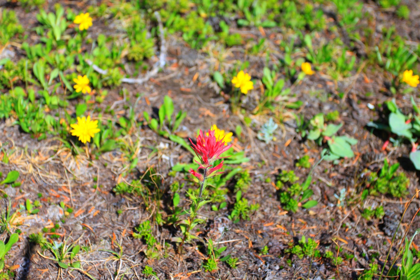
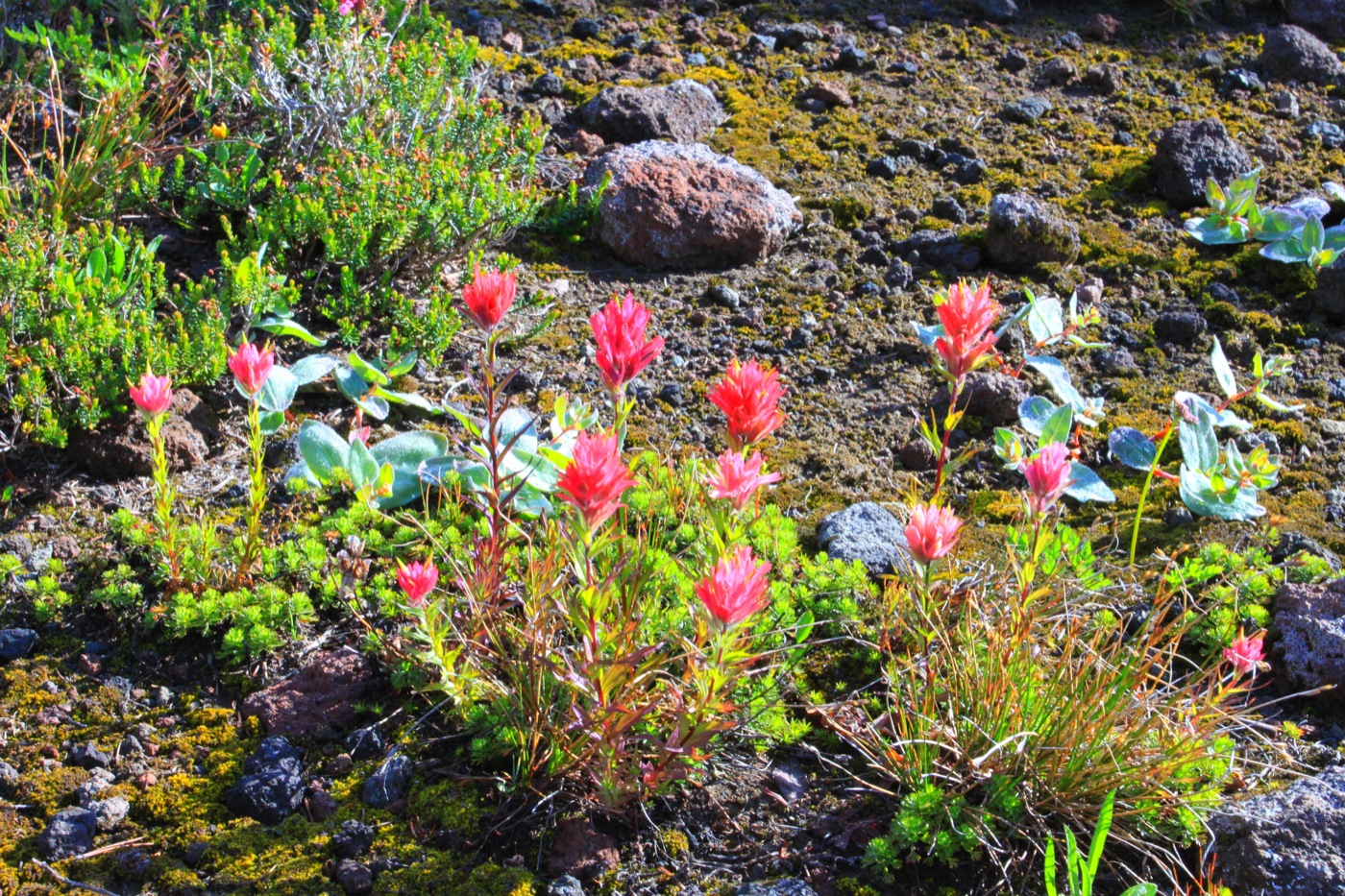
Indian paintbrush.
From my 2008 photo, I expected tall grass or short shrubs, and instead found lots of wildflowers, short grass, bare lava rock and soil, and trees.

Table Ridge.
One side of the Table was bounded by a small but formidably steep ridge that I at first took to be the east side of Cathedral Rocks, which I had seen on my 2008 hike on the Pacific Crest Trail. Instead, this ridge separates the north and south parts of the Table. The south Table is the part that is barren of trees in my 2008 photo (the first photo in this post); the north Table has more trees and is barely visible in the 2008 photo.
The head of the creek that feeds into Upper Table Lake.
At the north end of the Table, I found the headwall, probably a glacial cirque, of the ravine that leads to Upper Table Lake. It was so steep that I was glad I didn’t try that route. A side channel, on the right of the photo, might have been passable, but I suspect it too ended in a steep headwall.
Goat Peak and Mt. Jefferson from the upper table.
The west side of the Table is bounded by an impressive feature sometimes called Cathedral Canyon, but a screen of trees prevented any good photos. Continuing north towards Goat Peak, I made a short steep climb to a smaller area that, in my mind, I called the Upper Table.
More paintbrush.
Though not as flat and level as the Table itself, the Upper Table also had plenty of trees and wildflowers.
Cathedral Canyon, with Cathedral Rocks forming the other side and Goat Peak on the far right.
From the Upper Table I found a good vantage point to take photos of Cathedral Canyon. This is really a basin as it has no outlet on any side. Snowmelt and rain must drain through the lava to get out, as there are only tiny ponds in the bottom. Obviously, the canyon did not result from erosion but successive lava flows that somehow surrounded this spot.
Mud Lake and Goat Peak in 2008.
This 2008 photo shows Mud Lake on the Pacific Crest Trail. From the map, I thought it might be possible to reach the Table from Mud Lake. But, short of climbing Goat Peak, the canyon forms such a huge barrier between this spot and the Table that there seems to be no easy way to get to the Table from here without hiking all the way back to Carl Lake.

Table Lake from the Table.
Having finally figured out that treeless part of the Table in my 2008 photo was over the ridge, I decided I didn’t have time to find a way to that table and still hike back to the trailhead in one day. So I made it to the Table, and yet I didn’t make it to the part of the Table that I had found so intriguing in my 2008 photo. Obviously, I’ll have to get a better air mattress or sleeping pad and go back.
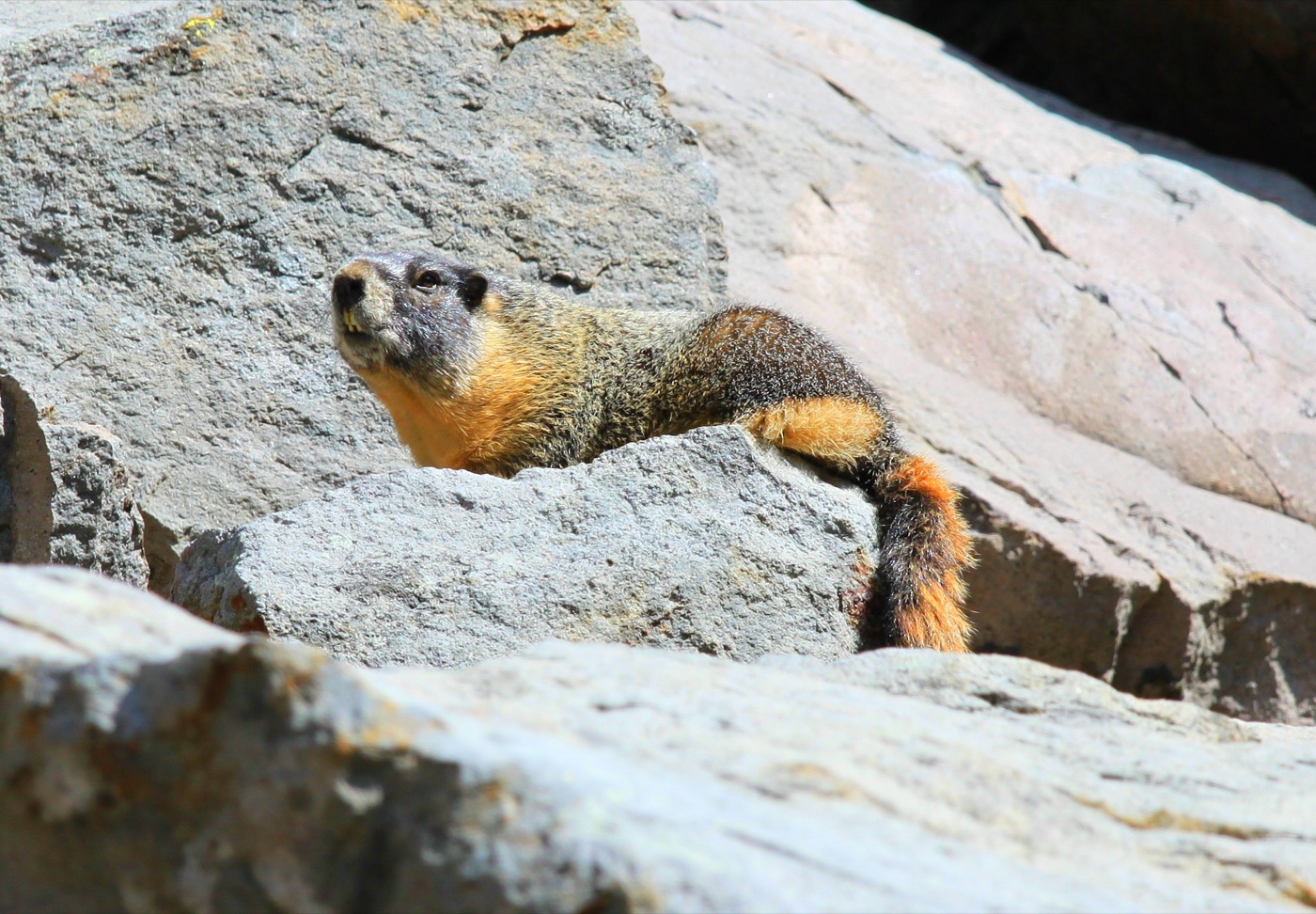
A marmot watches me hike out of the wilderness.
Returning to my camp spot, I found some deer who were perhaps attracted to my food, and hiking out I encountered this marmot and picked a pint of huckleberries for pancakes on Sunday.
Just to inject a little political content: Hikes like this are the high points of my year. The Forest Service could easily charge people like me $5 or $10 a day or more and we would think it was a bargain. But thanks to a few groups — notably the Sierra Club — that think that everyone should pay to use public lands except for wilderness hikers, Congress strictly limits what the Forest Service can charge.
I did pay a fee to park at the trailhead, but thanks to a recent law the Forest Service can only charge such fees at trailheads that have toilets. That money goes to maintain the toilets, not trails. If the agency could collect real fees, it would have an incentive to keep the Jeff Lake, Hole in the Wall, and similar trails open, and wilderness users would benefit from having more recreation opportunities.


I fully agree that trail fees are a good idea – it would keep the hordes from pounding the wilderness down. I’d willingly pay them as I’m going into the woods anyway, and the bonus would be that there are fewer earbuds and young male chimps playing frisbee golf on alpine tundra (this happened in Yosemite recently).
DS
It is interesting that people will spend hundreds of dollars for camping equipment, SUVs, gas, cameras, canoes, etc., and then will balk at paying a fee to use truly spectacular wild places.
Nice shots!
I agree with the comments here that user fees are appropriate. However, I question their validity under the current land management regime. The corporatist structure awards mutlinational corporations the right to mine resources without paying fair market value. (In national parks, it’s concessions that pay a very small franchise fee; on national forests, it’s logging companies that pay pennies on the dollar for timber.)
Non-governmental conservation trusts would eliminate such corporatism. Fees collected on trust lands would stay to preserve and maintain infrastructure of public lands. Many fees could also be voluntary; the Metropolitan Museum of Art in NYC asks for a suggested donation. Elderly, students, and low-wage laborers might choose to make a contribution under the suggested amount. Individuals could also buy memberships to different trusts, and those memberships would allow unlimited entry, the right to vote for board member elections, and so on.
With our federal government nearly bankrupt, I hope we move from centralized lands management to decentralized trusts. The preservation of places like Mt. Jefferson Wilderness may depend on it.
AP,
In 1978 I hiked into Jeff Park, camped at one of its beautiful lakes, and did a day hike to Goat Rock and up the ridge that connects Goat Rock to Mt. Jeff. It was August or September; late enough that mosquitoes were not a major issue. Had I photos of Mt. Jefferson from that hike they would have shown much more snow on the mountain. The 70s was a cold, wet decade in western Oregon compared to the 90s and first part of 21st century. The contrast is striking.
Several months ago a retired district ranger who had managed one of Oregon’s national recreation areas dropped by for a visit. He had been an early enthusiast of recreation user fees. He promised to operate his district solely on user fees, forsaking all tax dollars, if he was only permitted to re-invest the receipts into maintenance and services.
He soured on fees when FS senior officials took his receipts and gave them to “poor” districts., i.e., places people didn’t want to visit and/or with incompetent managers.
Yes, Andy raises yet again the excellent point about receipts and revenue distribution, as a certain toe-tapping Senator knows all too well. Simply changing this re-distribution will do a lot, IMHO.
DS
Antiplanner wrote:
“As everyone knows, the oil companies pay the Antiplanner to conspire with General Motors to force everyone who walks, bicycles, or rides trains to drive instead. So naturally, when I get some time off, my favorite forms of recreation are hiking, cycling, and rail fanning.”
Do the oil companies know this? It could be the end of a beautiful friendship. 🙂
I like the pictures!
Francis King said:
Autoplanner wrote:
“As everyone knows, the oil companies pay the Autoplanner to conspire with General Motors to force everyone who walks, bicycles, or rides trains to drive instead. So naturally, when I get some time off, my favorite forms of recreation are hiking, cycling, and rail fanning.â€Â
Do the oil companies know this? It could be the end of a beautiful friendship.
THWM: That’s a twisted love/self hate relationship indeed!
FK: I like the pictures!
THWM: Ditto.
Frank said: I agree with the comments here that user fees are appropriate. However, I question their validity under the current land management regime. The corporatist structure awards mutlinational corporations the right to mine resources without paying fair market value. (In national parks, it’s concessions that pay a very small franchise fee; on national forests, it’s logging companies that pay pennies on the dollar for timber.)
THWM: Just remember that the people that pay Mr.O’Toole, have logging interests too!
http://www.gp.com/aboutus/board/index.html
THWM,
Actually, the only money I ever got from Koch was before Koch bought GP. I’ve received far more income from the Sierra Club than from the entire timber industry. But trying to smear me by mentioning my association with the Sierra Club doesn’t work very well, does it?
That can even depend on which chapter of the Sierra Club.
Though forestry policy is where you are stronger.
Where you fail is on transport policy & related effects on land use.
I don’t agree with all of “Market Urbanism’s” comments, though he’ll call a spade, a spade.
Koch’s money flows through other channels, think tanks, etc.
Hey, I’ve tasted Cuban Rum(Havana Club is nice), though at the time I was in Canada.
“As everyone knows, the oil companies pay the Antiplanner…”
Okay so with the Cato Institute’s Board of Directors we have!
David H. Koch, Executive Vice President, Koch Industries, Inc.
Making it to the flat barren part of “the table” has fascinated me. Have you made it to that part in a subsequent trip?
Alex,
Yes, I returned a couple of years ago. After climbing to the north part of the Table, I found the only access to the south “barren” part to be a path up a steep slope at the west end. From there I hiked around the perimeter and into the center of the Table. There appeared to be a way back down into the valley on the southwest corner, but I was unable to negotiate the rocks and ended up returning the way I came.